|
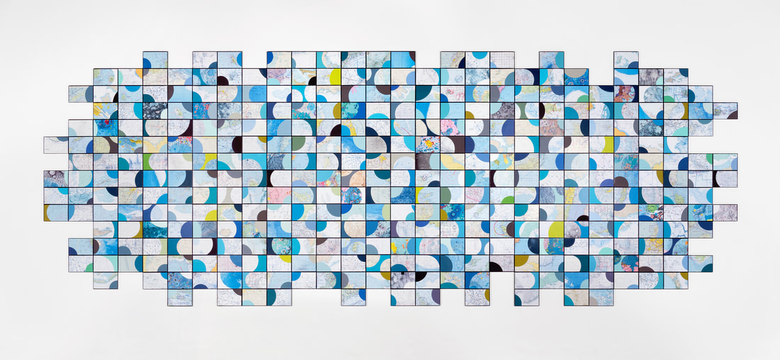
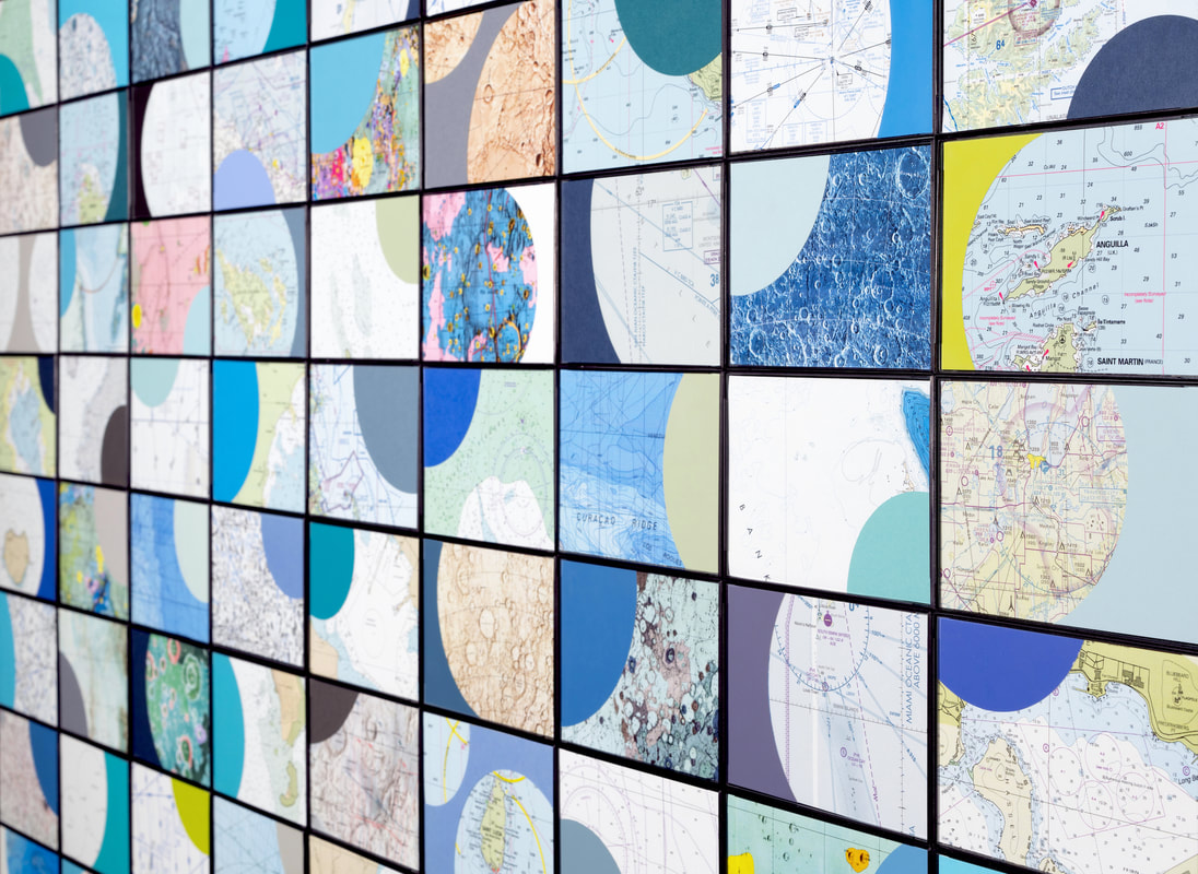
Geo Dis/connect 5
wall installation with collected and printed maps and color paper 360 framed images, 4 x 6 inches each approx. 5 x 15 feet overall 2020 This work combines nautical and aeronautical charts with lunar charts and maps of other planets. The maps emphasize areas of water, mostly of the Caribbean region, and "mare" features in lunar and planetary maps. |
 |
|
|
|